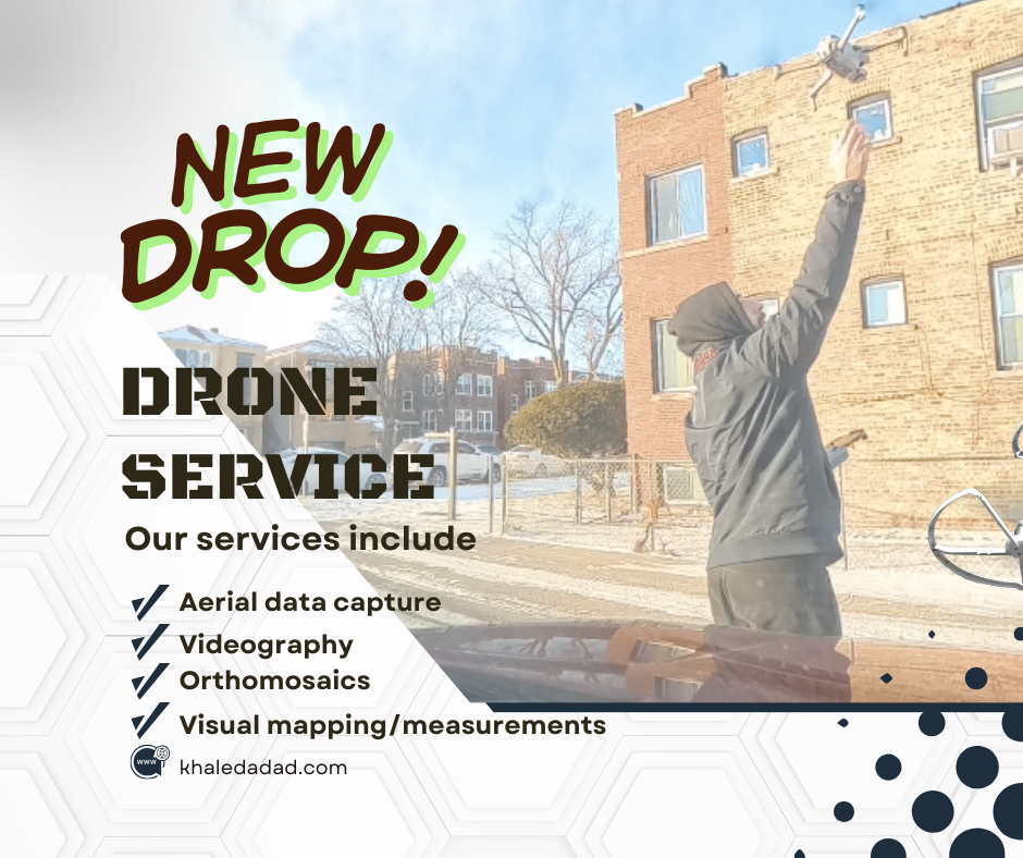
🎯 For Real Estate Agents & Developers
If you’re listing a property in Chicago or the surrounding suburbs and want clean, cinematic aerial footage that actually helps your listing stand out:
I offer:
- Real estate drone videos
- Aerial photography
- Drone mapping & site documentation
- Construction progress flights
Watch this week’s video 👇:
📩 Request pricing or book a project:
Context: What This Project Was
This was a real real estate drone video I shot for a residential property in Berwyn, Illinois.
The goal was simple: capture clean, cinematic aerial footage that would help the listing stand out online and give potential buyers a better sense of the property, the lot, and the surrounding neighborhood.
I handled the entire project end-to-end — from flight planning and shot design to filming, editing, and delivery.
This article breaks down exactly how the project was executed, what the client received, and why this type of work is one of the easiest entry points into building a profitable drone business.
The Process: How the Shoot Actually Worked
1. Pre-Flight Planning
Before arriving on site, I mapped out a rough shot list and visual flow for the property.
The priority shots were:
- A wide establishing push-in to show the full property
- A mid-range orbit to highlight the home’s exterior
- A top-down reveal of the roof and lot
- A slow cinematic pass across the front facade
I also checked:
- Local airspace restrictions
- Wind conditions
- Lighting direction and sun angle
This planning phase took about 10–15 minutes but dramatically reduced mistakes and reshoots on location.
2. Gear Setup
For this project I used:
- DJI drone for aerial capture
- Insta360 camera for behind-the-scenes footage
- iPhone screen recording to capture flight paths
Nothing exotic. No Hollywood-level rigging.
The entire setup fits in a single backpack.
This is important because it shows how accessible this type of business actually is.
3. Capturing the Shots
Once on site, I worked through the shot list in a logical order:
- Wide establishing shots first
- Mid-range orbits and push-ins
- Top-down and reveal shots last
This minimizes repositioning and battery swaps.
Each flight was 5–8 minutes long.
Total flight time on site: ~25 minutes.
I focused on:
- Slow, controlled movements
- Stable framing
- Clean lines and symmetry
No FPV tricks. No aggressive motion.
Just clean execution.
4. Editing Workflow

After the shoot, I imported the footage into my editing software and:
- Selected the best takes
- Stabilized and color-corrected clips
- Cut the sequence to music
- Exported a 4K master
- Created a vertical cut for social media
Total editing time: ~60–90 minutes.
The Deliverable: What the Client Received
This is the part most people are curious about.
Final Deliverables:
- 60–90 second real estate drone video
- 4K resolution
- Licensed background music
- Color-graded footage
- Vertical social media version
- 48-hour turnaround
Project Price: $150
Why This Type of Project Matters
This is not a one-off creative passion project.
This is a repeatable business asset.
Projects like this:
- Take under 3 hours total (planning + shooting + editing)
- Require minimal gear
- Are constantly needed by real estate agents
- Are easy to price and package
This single job works out to roughly $50/hour.
And that’s at a beginner-friendly price point.
With better positioning and packaging, this same service can easily be sold for $250–$400 per property.
The Bigger Picture: From Real Estate to Mapping & Construction
This Berwyn project is the foundation layer.
Real estate drone work is one of the easiest ways to enter the market, build a portfolio, and generate early cash flow.
But it’s not the end game.
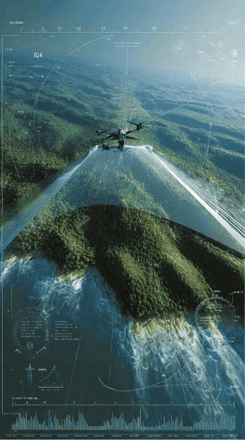
The exact same workflow you see here — planning, flying clean missions, delivering structured visual data — scales directly into:
- Drone mapping
- Construction site documentation
- Progress tracking
- Property measurements
- 3D models and orthomosaics
That’s where projects go from $150–$300 to $500–$2,000+ per job.
Over the next few weeks, I’ll be publishing:
- A full drone mapping project using Dronelink
- A construction site documentation case study
- Paid client work with full breakdowns
Each one will follow this same format.
Services I Currently Offer
If you’re a property owner, agent, or developer, I currently offer:
- Real estate drone videography
- Aerial photography
- Drone mapping & site documentation
- Construction progress flights
📩 Request pricing or book a project:
Want to Build a Drone Side Hustle Like This?
I’m turning every one of these real projects into a practical, step-by-step playbook.
No hype.
No shortcuts.
Just the exact process I’m using to:
- Find clients
- Price services
- Deliver professional results
📘 Get the book:
What’s Coming Next
Over the next few weeks, I’ll be publishing:
- A full drone mapping project using Dronelink
- A construction site documentation case study
- A breakdown of my exact service pricing
- A client outreach system that actually works
Follow along here or on YouTube to see how this business is built in real time.
Location: Berwyn, Illinois Project Type: Real Estate Drone Video Category: Behind the Scenes / Case Study